 |
Jungle NavigationTony Costigan |
The Earth’s equatorial rain forests are symbiotic ecosystems, rich in biodiversity; consumers of carbon and producers of oxygen. Arguably, many of the documentaries we see on our TV screens such as The Green Planet, have educated us, to some extent, to the complexities and issues of environmental science and forged a subjective if not romantic affinity with the forests crucial to our survival. Yet, when one is among the trees, it feels like Jungle, a much less paradise-like, and often a very forbidding, place. In the English Oxford Dictionary, ‘Jungle’ is 1. A land overgrown with underwood or tangled vegetation, esp. in the tropics. 2. A wild tangled mass. 3. A place of bewildering complexity or confusion. Jungle itself is a loanword from the Hindi word jangal. For the purposes of this article, both terms will be used interchangeably.
 |
 |
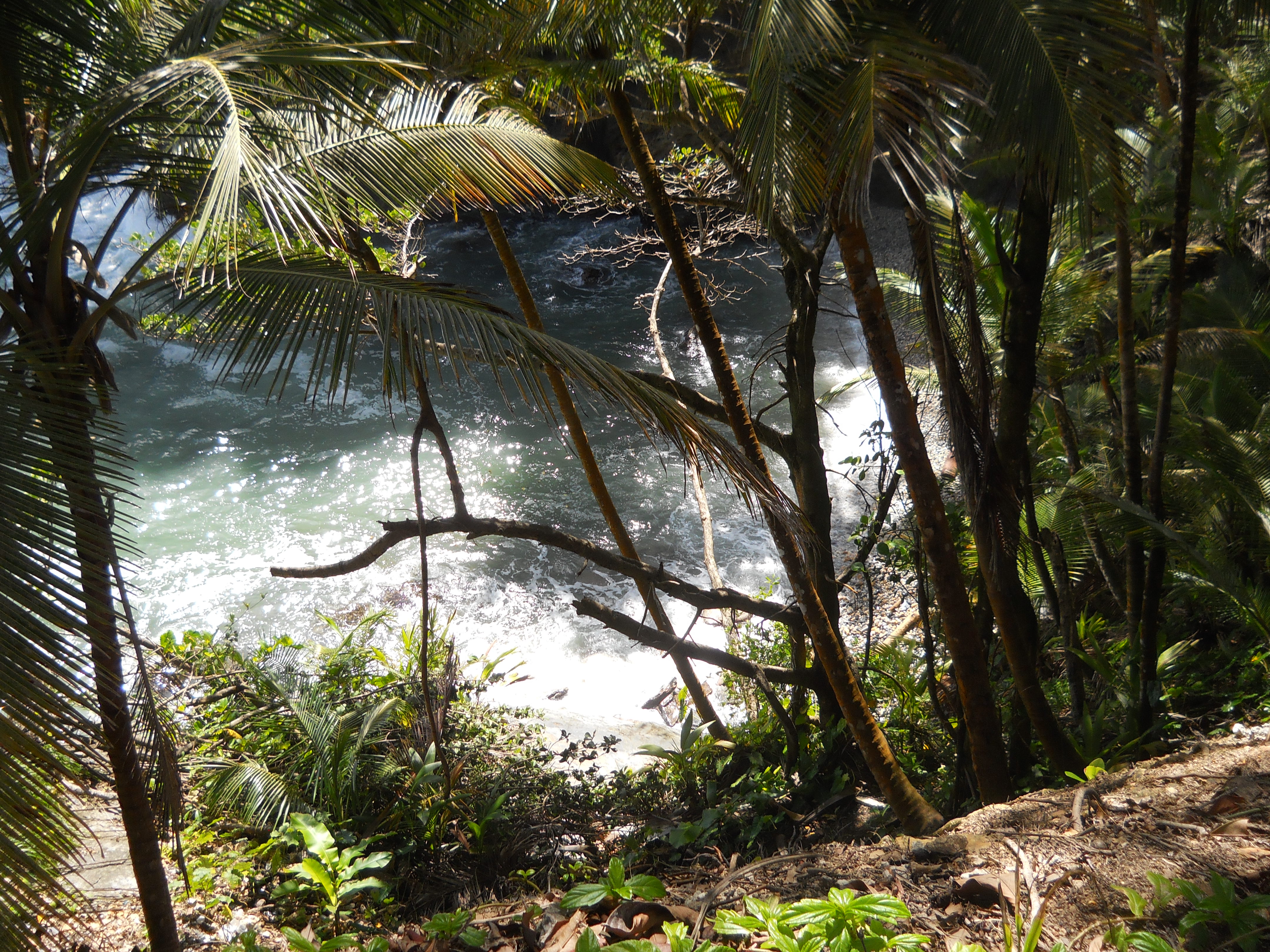
| All photos provided by Tony Costigan |
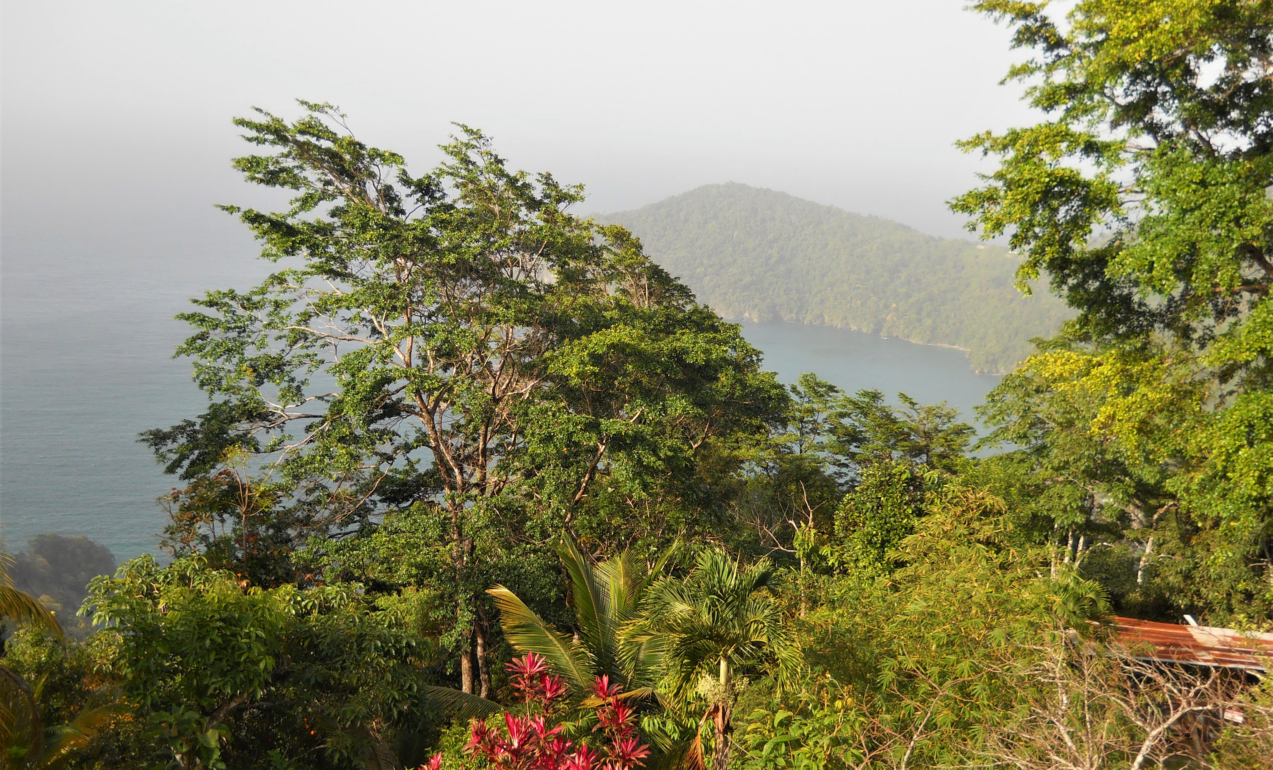
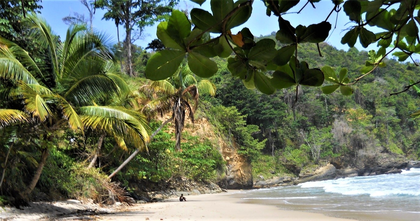
The largest of the rain forests are found in the Amazon Basin of South America and the Congo Basin of Africa. Another region stretches from India through Burma to Thailand, and in the Far East, there is Malesia. Malesia comprises the Malaysian Peninsula, Borneo, Indonesia, The Philippines, New Guinea and the Solomon Islands. Many of these lesser regions are quite mountainous as they cover areas of tectonic plate activity which frequently form island chains such as the Caribbean islands.
The jungles of the Americas and Malesia largely consist of triple-canopied Primary (Virgin) forest and Secondary Jungle. The forests of the Malaysian Peninsula experience rain most afternoons (approx. 2000ml per year). Here, the forests feel much more primeval than those of, say, the Caribbean. Typical of Malaysia are the large buttressed Dipterocarps which can reach up to 230 feet (70meters).
Preparation and Planning Prevents Poor Performance
Navigation in a trackless, jungle setting presents its own unique set of problems. Some of them can be solved with a map, a compass, and navigational experience but in this environment these must be gained and practised. The basics are not unlike navigating in other circumstances of limited visibility such as at night or in a thick moorland mist.
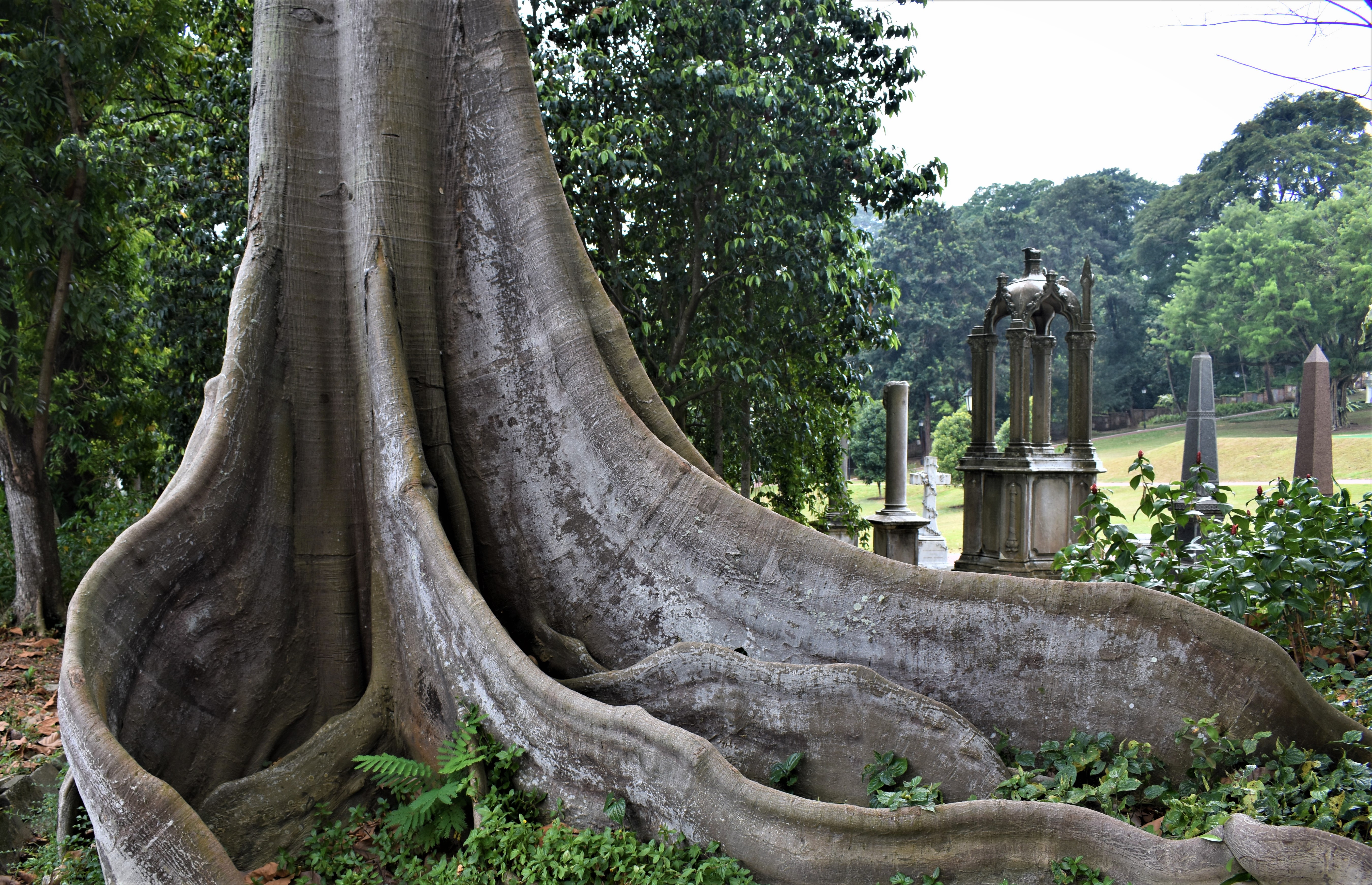 |
| Buttress roots of a Dipterocarp (Singapore). |
To ascertain direction of travel, one takes a grid bearing from a map and converts it to a magnetic bearing by adding the magnetic variation (usually found at the bottom of the map). With a little preparation and planning any changes in the bearing can be calculated and noted before beginning the trek. It is also worth taking the time to study the map and familiarise oneself with the directional flow of rivers and mountain ridges. When covering long distances it is advisable to move in a series of shorter bounds from one identifiable point to another such as a bend in a river, the hump of a ridgeline or even a prominent point on a coastline.
 |
| Obstacles sometimes require a detour but can be an aid to navigation. |
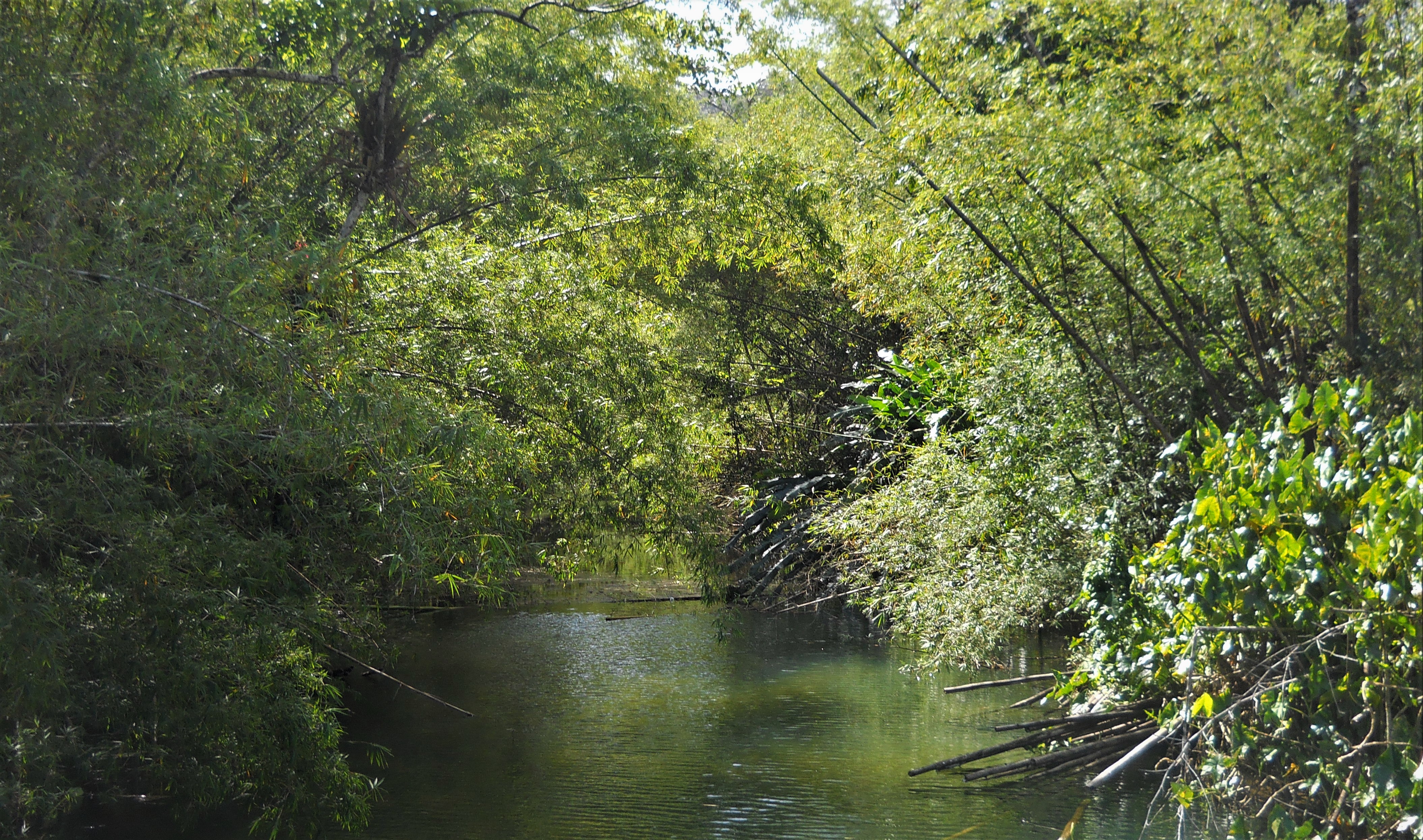
Navigating on a bearing seems simple enough, however, one encounters many unforeseen obstacles and detours which the forest throws up such as massive trees, dense thorny bush, boulder fields, swamp and rivers. Here, navigation is coupled with negotiation. In these circumstances, the lines of least resistance are usually followed and constant checks and adjustments are necessary to remain on course. Some obstacles can be ‘boxed’ around while others may require large detours. Moving in bounds, one might aim to intersect a river or a ridgeline at some point which will assist in confirming position. These bounds and their bearing can be calculated before the trek begins but often require some adjustment on the ground.
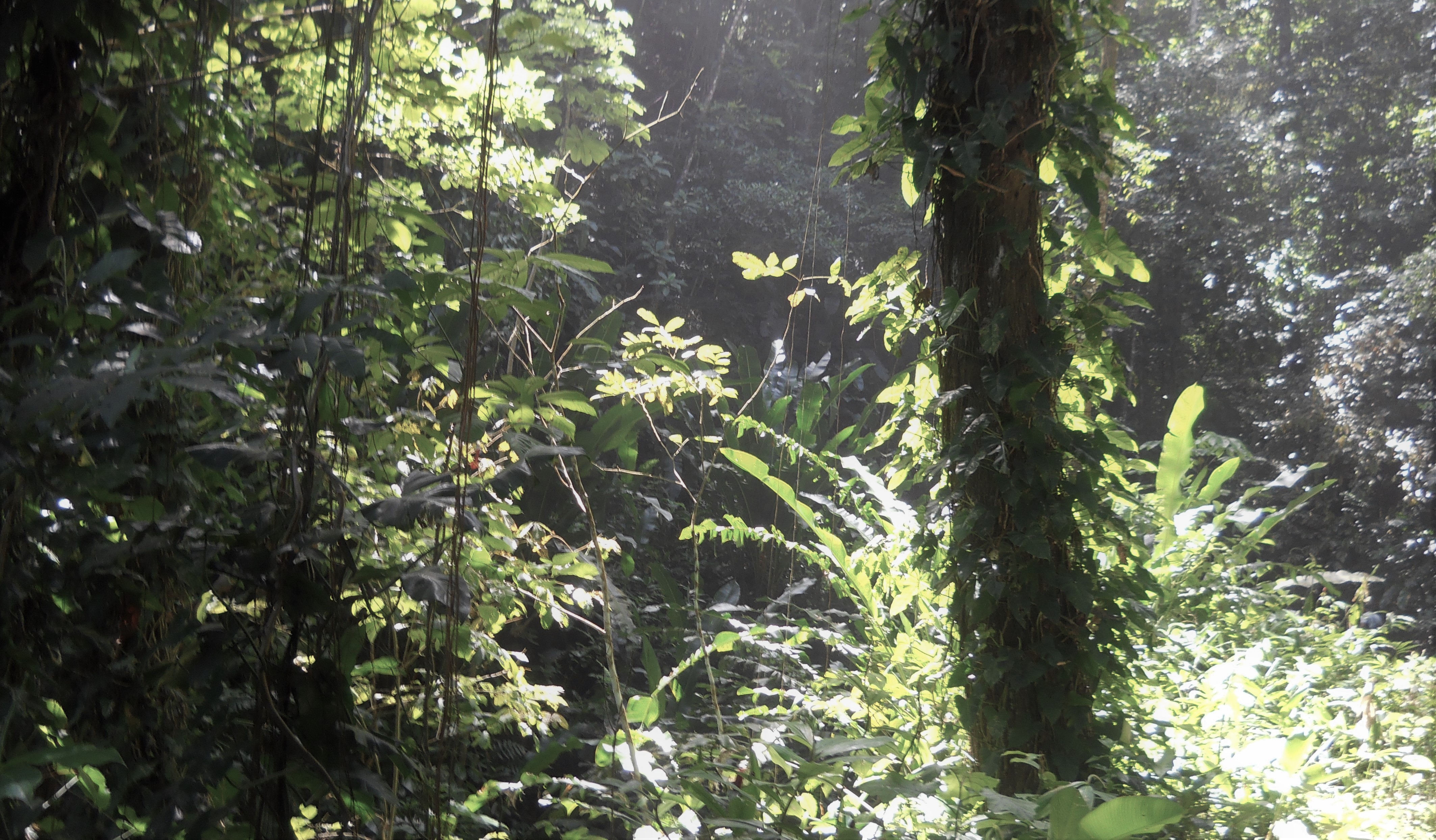
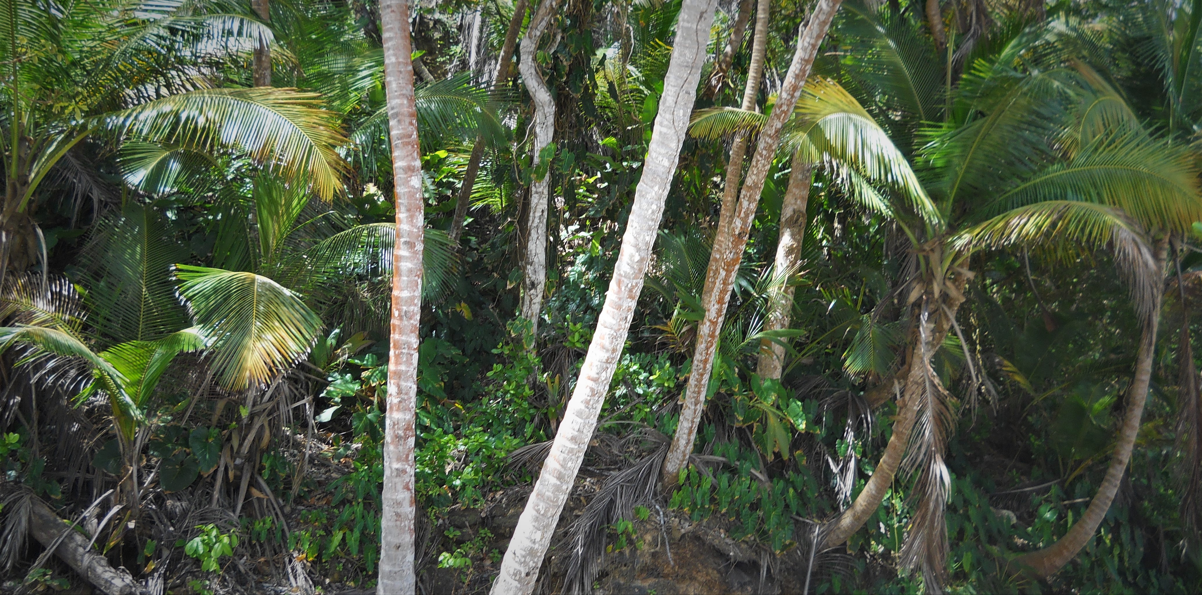
In areas of flat virgin forest the going can be fairly easy, with little undergrowth due to the canopy prohibiting sunlight. A person walking several metres ahead can be directed to keep on bearing by the person following with a compass. In secondary jungle, typically a result of tree fall, previous wildfires or slash-and-burn activity, the undergrowth is thick and entangled, competing chaotically as it reaches for the energy-giving rays of the sun. It can be (and usually is) extremely difficult to penetrate. Difficult, but not impossible. It is laborious work and, working in relays, the constant wielding of machetes requires plenty of stamina. Where one might progress at a steady 1,000 metres per hour in virgin forest, in secondary jungle this can drop to less than 100 metres.
As well as direction, it is also important to measure distance travelled. One way of achieving this is by counting steps. In order to become adept, it is best practised on different terrain while noting the effect of gradients and obstacles. A record of steps taken can be recorded by counting knots in a piece of string, one knot representing, say, 100 metres. Prayer beads can be utilised for the same purpose.
There are also other things to consider. As well as bloodsucking leeches which drop from the trees and slither inside the clothing, there are also malaria-carrying mosquitoes, poisonous snakes, ants, termites, hornets, scorpions and many other parasites. It is not unusual for a single sting from a hornet (which resembles an enormous wasp) to render the recipient unconscious. The trees themselves are often covered in spikes and thorns which can cause injury and infection.
Added to this are the climatic conditions. In July and August the average temperature is approximately 33°C. (91°F); humidity about 75% and tropical showers occur most afternoons. In the heat of the forest, with no breeze, the humidity increases to even higher levels. When the rain stops it seems to continue for a further 15 to 20 minutes as the canopy sheds its load.
All of the above natural phenomena are a part of what attracts us to the rain forests and good preparation makes it manageable. Navigation is all a matter of technique and plenty of practise until it becomes instinctive. The jungle is an exciting, sometimes scary and always a never-to-be-forgotten environment that, once experienced, continues to draw us back.
Learn more about the navigation tools and techniques used in this story below:
Pace Counting Beads
Simplified Dead Reckoning on a Tortuous Path
To access this journal article as a member, please sign in on the RIN website and follow the Journal of Navigation link available there.