RIN Blog
Blog Home All Blogs

Updated Guidance on Electronic Navigation Systems Published for Leisure Vessel Users

Posted By Lucy Woods, 29 September 2025

Updated Guidance on Electronic Navigation Systems Published for Leisure Vessel Users

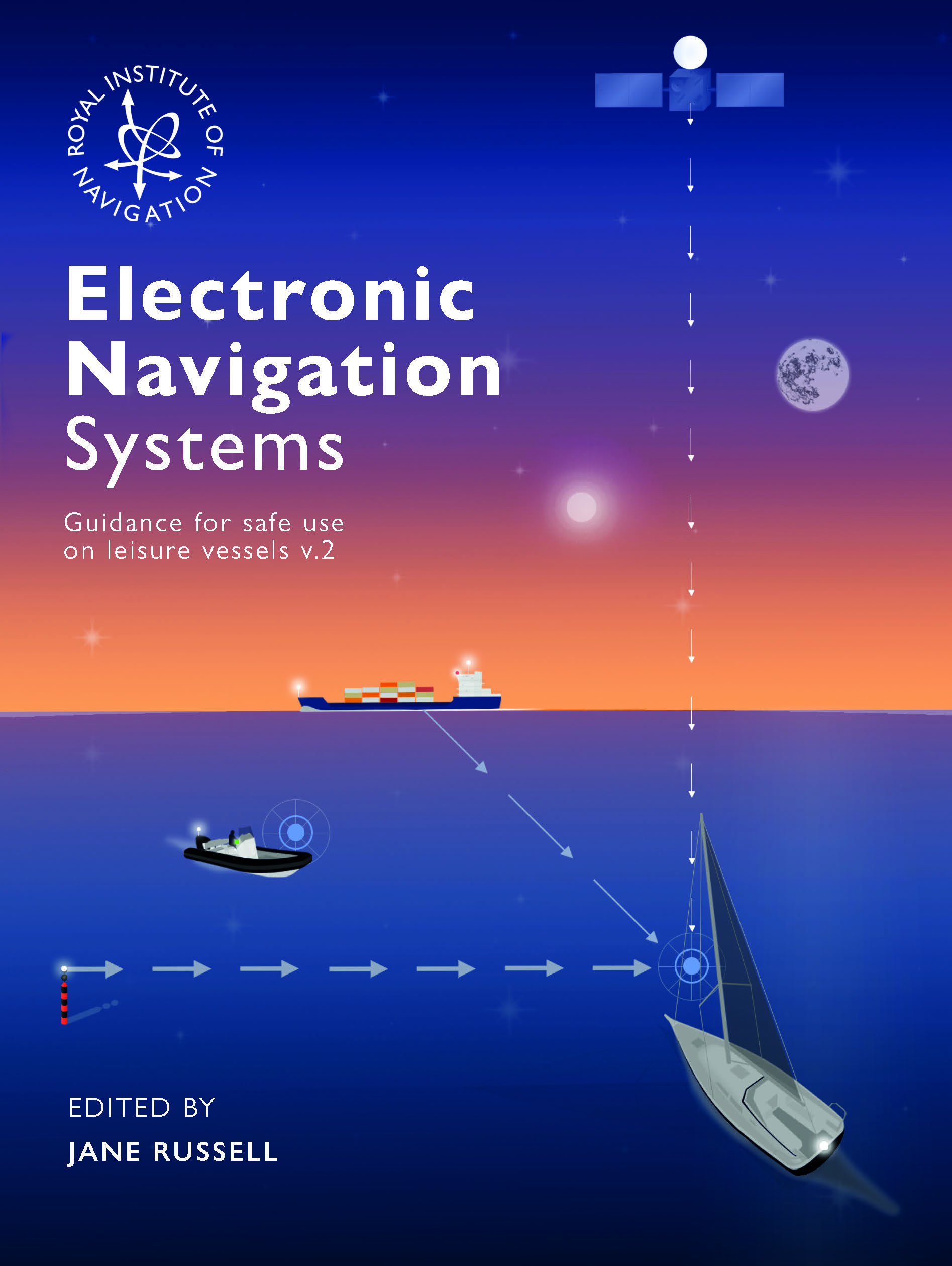
Our Small Craft Group has published an updated edition of its popular booklet Electronic Navigation Systems – Guidance for Safe Use on Leisure Vessels. The new version reflects the latest developments in navigation technology, user feedback from across the leisure marine sector, and introduces a new section on astronavigation as a vital backup to electronic methods.
Why this matters for small craft users

Since the original booklet was released in 2020, significant changes have reshaped the navigation landscape for leisure sailors and motorboaters:

  • Evolving satellite navigation services: The global rollout of new regional satellite systems, coupled with the closure of some Differential GNSS (DGNSS) services, has placed renewed emphasis on Positioning, Navigation and Timing (PNT) resilience. Leisure sailors must now navigate with greater awareness of both the strengths and vulnerabilities of GNSS.
  • Shift to electronic charts: The accelerating move away from paper charts has exposed limitations in official Electronic Navigation Charts for leisure use. While private providers have helped fill gaps, important issues remain around display systems, backup arrangements, training, and cost. These challenges make it more important than ever for small craft users to understand the benefits and risks of electronic navigation.
  • Astronavigation as a safeguard: The booklet now includes a dedicated sub-section on astronavigation. For long ocean passages or in situations where electronic systems fail—whether due to technical breakdown, hacking, or signal jamming—traditional methods remain an essential, reliable fallback.

Jane Russell, Editor, commented: “This update ensures that sailors and leisure craft operators have the most relevant, practical guidance at their fingertips. By incorporating astronavigation and the latest satellite system updates, the booklet helps users prepare for the realities of modern and future navigation.”

Paul Bryans, of the RIN’s Small Craft Group, added: “This edition comes at a crucial time. With the industry moving rapidly toward electronic navigation, the need for clear, trusted guidance has never been greater. We also continue to press for agreed standards across hardware, software, and chart suppliers. While leisure craft may be lightly regulated, many vessels operate commercially—such as charter yachts and training school boats—and they deserve systems and charts that are both safe and user-friendly.”

The updated Electronic Navigation Systems booklet is available now as a free digital download via the RIN website, with hard copies available to purchase.

RIN also invites interested sailors, industry professionals, and navigation enthusiasts to register for the 2026 RIN Electronic Navigation Conference, taking place on 6 February 2026. This biennial event brings together the international leisure marine community to discuss the future of small craft navigation, with the 2026 theme: “Small Craft Electronic Navigation in 2026, and Beyond.”

Supporting organisations

The Small Craft Group acknowledges the financial support of Trinity House and the contributions of the wider navigation community in developing this important resource. Partnerships with key organisations including the RYA, MCA, and RNLI continue to ensure that the guidance remains practical, authoritative, and relevant to leisure sailors.

Tags:  Navigation Software  small craft group  small craft groupmaritime 

PermalinkComments (0)
 

An iPad Nightmare

Posted By David Broughton, 28 August 2018


Fly/Sail is always the most-fun weekend of the year, and this year it was going to be at Solent Airport and the Hornet Services Sailing Club, Gosport. A handful of fliers and sailors gather at Saturday lunchtime, with the sailors being flown around the local area in the afternoon and then, after a very sociable evening, the sailors accommodating the fliers overnight and taking them for a sail the next morning. All head homewards with huge grins after Sunday lunch.

But, flying from Conington, Peterborough, meant that I had a good hour’s flight to Solent, having to pass by Luton and Heathrow airports amongst a handful of other restricted areas. The aircraft I was to hire was a beautiful-looking and modernised Piper PA-28, with drooping wingtips. I had previously looked carefully at its navigation fit: it had a couple of VOR receivers and an elderly GPS with no graphics.


So I bit the bullet and decided that, as an almost-octogenarian, I would treat myself to an iPad and navigation software. I needed one with GPS, so checked with the experts at the Mac store in Cambridge – yes, all new iPads have GPS they confirmed. I decided to buy it on offer from the largest department store in Cambridge, whose expert also confirmed that the iPad 6th Generation 32GB for £319 ‘has GPS’.

I had also had an offer of free SkyDemon for a month, so I took that up; it works well on the iPad but, sadly, not on my Mac desk- or lap-tops. So I put the track (Conington-Cranfield-Woodley NDB-Solent) directly into the iPad; it was incredibly easy to do and let me play with height to avoid airspace infringements. As well as a very usable chart, it produced an excellent flight-plan, complete with many useful frequencies, for viewing or printing.


By now I had been to AeroExpo and bought a smart knee-pad from Pooley’s to hold the iPad. So, to convince myself that all was working, I tried it in the car, with my wife driving of course. But as soon as I went into SkyDemon navigate mode, I received a warning that I could only undertake a 30-minute flight under the free trial. Wow, thank goodness I had given it a try – had I only read the instructions with the trial I would have known that. But the navigation in the car seemed to work well; the aircraft symbol tracked us around and aligned itself with heading. So I paid £12 for a month of trial that would allow SkyDemon to work as a useful navigator.

On the Saturday morning, with the aircraft full of fuel and overnight kit, we taxied out at Conington. My co-pilot was a lapsed PPL who, between take-off and landing, was happy to hold height and heading, allowing me to devote time to the iPad strapped to my knee. As soon as we headed south, I opened-up the iPad on my knee – to be greeted with the message ‘Current Location Not Available’. The beast obviously had no intention of navigating, so I threw it onto the back seat and scrambled for my chart and printed pilot-log. Thankfully, I had prepared a 250k chart with the track and timing marks and the flight continued as an unexpected and sweaty map-reading exercise. Thankfully, we made it to Solent with no infringements, thanks in part to a very helpful Farnborough Lower Airspace Radar Service (LARS).

It turns out that the iPad that I had bought, in spite of assurances from Mac and department store staff, has no GPS (or any other GNSS). I can only assume that it worked during my car trial by using the car’s Bluetooth and inbuilt navigation. I spoke to a handful of fliers at Solent, who confirmed what I had just discovered about my iPad; a couple showed me their small Bluetooth GNSS receivers which, at around £90, had resolved the problem for them completely by pairing with the iPad and allowing it to navigate.

So a lesson or two learnt: make sure that free software trials fully do what you need; don’t glibly believe what sales staff assure you about iPads; and, most importantly, ensure that you have a properly-prepared paper chart and hard-copy flight-plan at your fingertips... and brush-up by reading the Institute’s booklet on ‘Infringement Avoidance’.

Tags:  Aircraft  Fly/Sail  GPS  Navigation Software 

PermalinkComments (0)